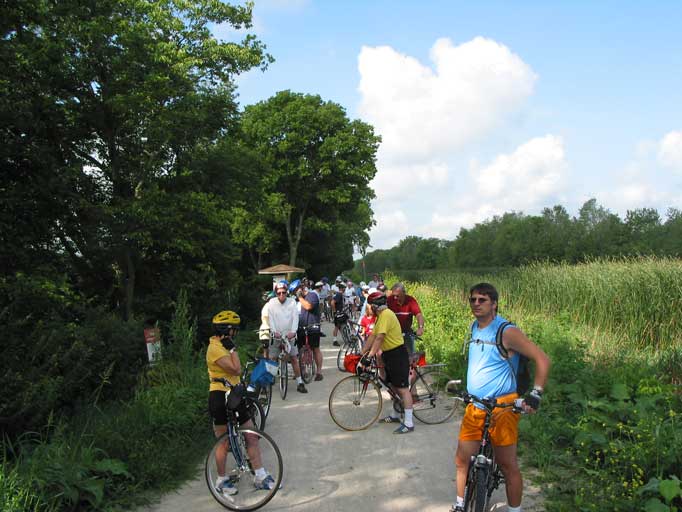
Part of the Grand Illinois Trail, the I&M Canal State Trail stretches 61.5 miles across the Illinois & Michigan Canal National Heritage Area from Rockdale all the way down to LaSalle. Rich in history and scenic views, this trail runs along a variety of fascinating locations, including numerous state parks and restored historical sites that offer opportunities to enjoy an abundance of wildlife and distinct landscapes. Whether you prefer to take your bike for a spin or enjoy a casual stroll, the trail is perfect for adventurers and nature lovers of all kinds.
I&M Canal State Trail – Rockdale to Channahon
Length: 9 miles
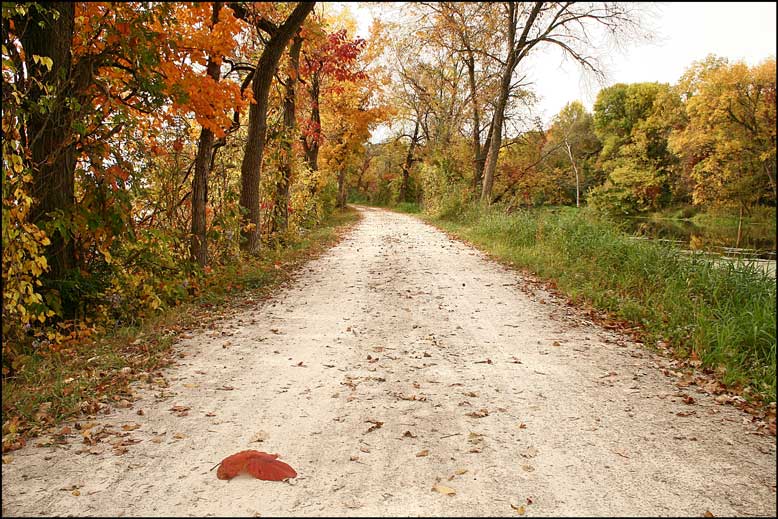
Surface: Crushed limestone
Level of Difficulty: Easy, flat
Access Points:
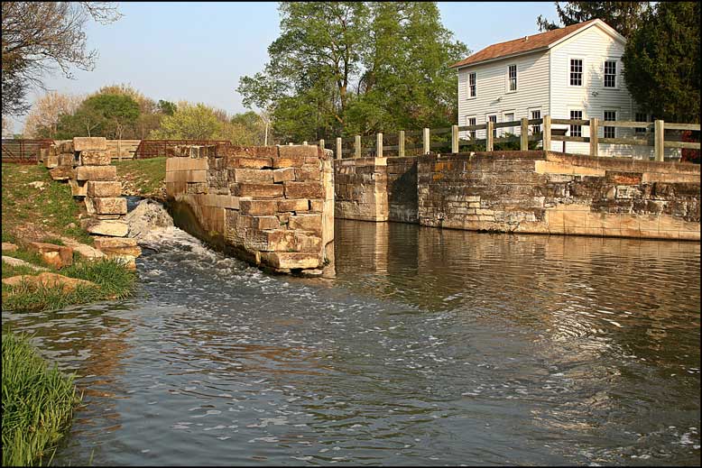
Rockdale (Across from Brandon Locks)
Channahon State Park
I&M Canal State Trail – Channahon to Morris
Length: 15 miles
Surface: Crushed limestone
Level of Difficulty: Easy, flat
Access Points:
Channahon State Park
Four Rivers
McKinley Woods
Dresden
Aux Sable
Canal Port Park, Morris
Gebhard Woods State Park
I&M Canal – Morris to Ottawa
Length: 22 miles
Surface: Crushed limestone
Level of Difficulty: Easy, flat
Access Points:
Gebhard Woods State Park
Seneca Grain Elevator
Downtown Marseilles
Route 71 & 6
Downtown Ottawa
I&M Canal State Trail – Ottawa to LaSalle
Length: 14 miles
Surface: Part crushed limestone, part paved
Level of Difficulty: Easy, flat
Access Points:
Ottawa Tollhouse, Ottawa
Boyce Memorial Drive, Ottawa (North of Thornton Park)
Buffalo Rock State Park
Downtown Utica
Lock 14, LaSalle
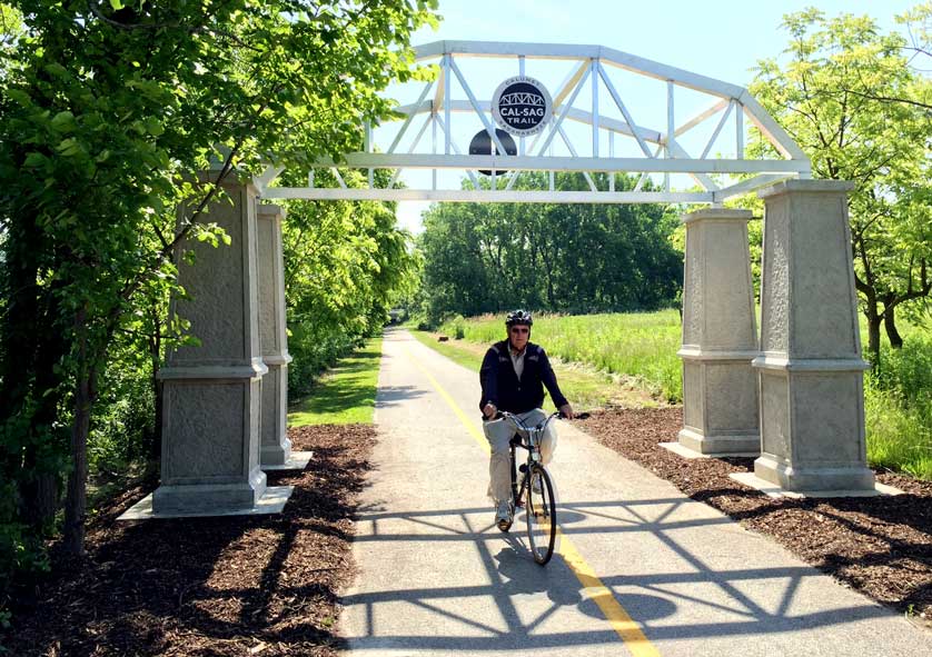
Cal Sag Trail - Alsip to Lemont
Come see for yourself the I&M Canal National Heritage Area’s newest trail! The long-awaited first half of the Cal Sag Trail is now open and connects Alsip to Lemont.
Lockport and Joliet were two of the most influential Illinois cities of the 19th and 20th centuries. Explore the trail that connects the two, viewing canal ruins, a closed amusement park, the old Joliet prison and finally the ruins of the Joliet Iron Works.
Length: 11 miles
Surface: Part paved, part crushed limestone
Level of Difficulty: Easy, flat
Access Points:
10th Street, Lockport
Joliet Iron Works
Wauponsee Glacial Trail
Named after an ancient glacial lake, and built on two abandoned rail lines, the peaceful Wauponsee Glacial Trail winds south of Joliet, past the majestic Midewin National Tallgrass Prairie.
Length: 23 miles
Surface: Part paved, part crushed limestone
Level of Difficulty: Easy, flat
Information: (815) 727-8700
Access Points:
Sugar Creek Preserve
Manhattan Road Access
Symerton Access
Forked Creek Preserve – Ballou Road Access
Take to the trails in style on one of our handy rental bikes, available at bike stations in LaSalle, Utica, Morris, Channahon, Lockport and Lemont.
To inquire about the condition of the trail or to report a trail hazard, please call the Illinois Department of Natural Resources at (815) 942-9501.